1 State of land, soil and water
1.4 Extreme flood events
Climate models predict increasing frequency, intensity and amount of heavy precipitation as the global climate changes. More-intense rainfall is increasing the risk of landslides, extreme erosion and flash floods. The special report on climate change and land by the Intergovernmental Panel on Climate Change notes that tropical cyclones are already shifting towards the poles and the speed at which they move is slowing.
Increased exposure of coastal areas to intense and long-duration storms will lead to land degradation and affect coastal forest structure and composition. Sea-level rise already affects coastal erosion and salinization, leaving these areas vulnerable to catastrophic weather events. The annual crop production cycle in these areas is highly conditioned by climatic volatility: prolonged periods of drought and higher-frequency and more-intense rainfall and associated flooding.
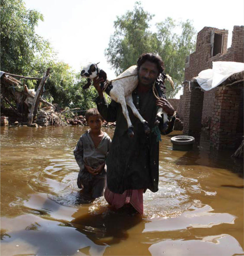
Inland from coastal zones, overbank flooding is part of the natural hydrological cycle. It has been, and still is, responsible for bringing benefits to agricultural land (silt and nutrient replenishment). However, the land’s ability to recover from flooding to maintain cropping calendars is an important element of the resilience of irrigated farming systems. The July–September flood event in 2010 in the Indus basin inundated at least 3.7 million ha of productive irrigated floodplain, disrupting rice food systems and industrial crops such as cotton well into 2011. Food protection for irrigated perimeters will generally be designed for events with 10–25 year return periods, while major river impoundment and storage infrastructure is generally designed to probable maximum precipitation.

The sacrifice of irrigation schemes upstream of urban centres to contain excess flood flows has been a contentious issue in Southeast Asia, particularly when isolated areas of rural land have been converted into high-value “green-field” industrial sites.


